| Wayanad |
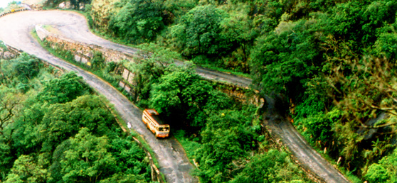 Area: 2132 sq. km Altitude: 700 - 2100 m above sea level A bio-diverse region spread across 2,132 square kilometers on the lofty Western Ghats, Wayanad is one of the few districts in Kerala that has been able to retain its pristine nature. Hidden away in the hills of this land are some of the oldest tribes, as yet untouched by civilization. And the very first prehistoric engravings in Kerala discovered in the foothills of Edakkal and around Ambukuthimala bear testimony to a pre-historic culture dating back to the Mesolithic Age. Strikingly scenic, it is known for its sub-tropical savannahs, picturesque hill stations, sprawling spice plantations, luxuriant forests and rich cultural traditions. A holistic confluence of wilderness, history and culture, Wayanad is located on the southern tip of the magnificent Deccan plateau. ACCESSIBILITY Telephone access code: + 91 4936 Air: Nearest airport: Kozhikode Rail: Nearest railway station: Kozhikode Major towns in the district and distance from the nearest railway station: Kalpetta: 72 km from Kozhikode, Mananthavady: 80 km from Thalassery and 106 km from Kozhikode, Sulthan Bathery: 97 km from Kozhikode, Vythiri: 60 km from Kozhikode. Road: Well connected by roads from Kozhikode, Kannur, Ooty (175 km from Kalpetta) and Mysore (140 km from Kalpetta). Tourist information offices: District Tourism Promotion Council, Kalpetta Telefax: 202134 Pookot Ph: 255207 Email: info@dtpcwayanad.com www.dtpcwayanad.com, Tourist Information Centre, Collectorate Ph: + 91 4936 204441, Govt. Guest House, Sulthan Bathery Ph: + 91 4936 220225 MUST SEE Chembra Peak Kuruvadweep Vythiri Hill Station Banasura Sagar Dam Edakkal Caves |
Friday, December 9, 2011
Wayanad
Subscribe to:
Post Comments (Atom)
No comments:
Post a Comment